
This is a lame attempt to “cram” a trivia topic that is a strong one for one of my trivia players who will be absent in our next trivia tournament. Without further ado, here goes! Some facts about Canada!

Ren and Stimpy as “Royal Canadian Kilted Yaksmen”
Canada’s Regions/Postal Abbreviations/Capitals
Atlantic
- Newfoundland and Labrador (NL)/St. John’s
- Prince Edward Island (PE)/Charlottetown
- Nova Scotia (NS)/Halifax
- New Brunswick (NB/Fredericton
Central Canada
- Quebec (QC)/Québec City
- Ontario (ON)/Toronto
Prairie Provinces
- Manitoba (MB)/Winnipeg
- Saskatchewan (SK)/Regina
- Alberta (AB)/Edmonton
West Coast
- British Columbia (BC)/Victoria
North/Territories
- Nunavut (NV)/Iqaluit
- Northwest Territories (NT)/Yellowknife
- Yukon Territory (YT)/Whitehorse
Most Populous Cities (2016)
- Toronto (ON), 5.9 M
- Montreal (QC), 4.0 M
- Vancouver (BC), 2.4 M
- Calgary (AB), 1.39 M
- Ottawa (ON), 1.323 M
- Edmonton (AB), 1.321 M
- Québec City (QC) 800,296
- Winnipeg (AB), 778,489
- Hamilton (ON), 747,545
- Kitchener (ON), 523,894
U.S. States Bordering Canada
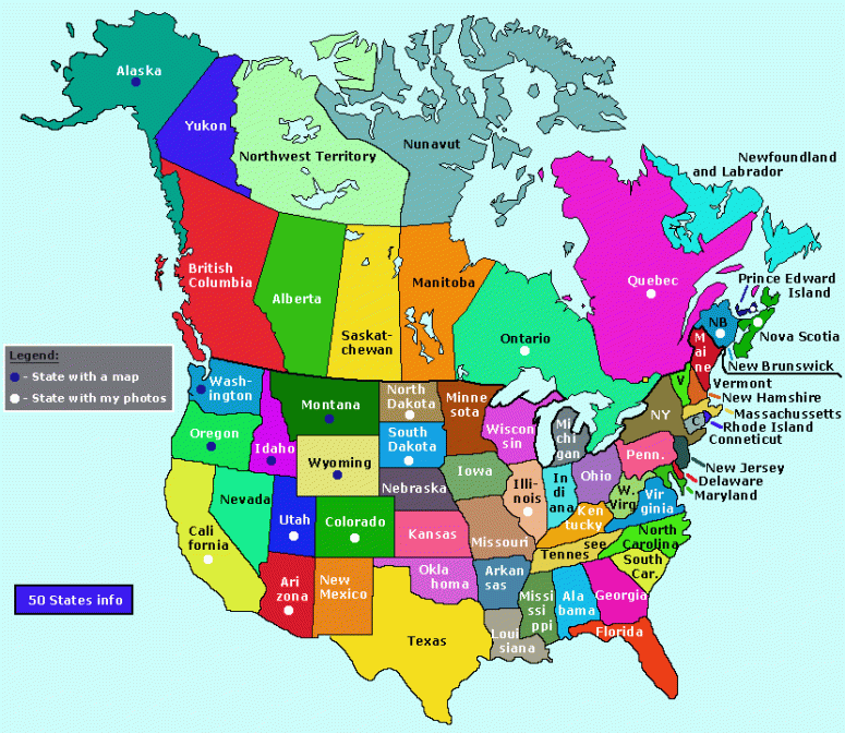
Take a gander at this handy map to see which provinces/U.S. states get all touchy-feely with each other!
- Alaska
- Idaho
- Maine
- Michigan
- Minnesota
- Montana
- New Hampshire
- New York
- North Dakota
- Ohio
- Pennsylvania
- Vermont
- Washington
